

An Interpretive Summary Of How Congress Freed Antelope And Buffalo Springs For Use By All
At the turn of the 20th century, Sulphur Springs, Indian Territory, was transforming from a scattered settlement into a fast-growing health resort. Visitors came for the mineral waters; residents worried that hasty, profit-driven platting would fence off springs and degrade the creeks. On February 4, 1901, citizen G. W. Robberson wrote the Secretary of the Interior urging federal action to protect the site’s “natural advantages,” warning that the privately driven King survey lined out lots across the very banks—and even the bed— of the creek, inviting filth and sanitary danger. His plea framed the now-central idea: the springs and creeks should be reserved for public health and pleasure, not diced into saleable parcels.
This debate unfolded amid new federal rules: the Curtis Act and the May 31, 1900 law enabling the Secretary to plat towns of 200+ people. Supervising engineer H. V. Hinkley directed field parties to locate town limits; then Tribal Townsite Commissions would appraise lots. But the ground was shifting. Commissioner Dawes flagged a rush of mostly white “citizenship” claims—thousands seeking allotments inside the Five Tribes’ domains—a dynamic that threatened to transform springs and creek corridors into private assets overnight.
Through early 1901, Sulphur’s own advocates divided over tactics. Attorney Eugene E. White pressed for annexations as houses went up daily, while the Dennis Flynn Republican Club (with T. R. Cook and Joseph Swords) resolved to keep the waters free “in perpetuity,” and asked Senator Orville H. Platt of Connecticut to champion protective legislation. Platt agreed, explicitly likening Sulphur to Hot Springs,Arkansas, and asked Interior to consider withdrawing land from allotment so a public resort could grow for the benefit of all.
By summer 1901, Indian Inspector J. George Wright judged the earlier exterior town limits inadequate and held them back from approval. The Department requested a scientific survey of the springs; U.S. Geological Survey geologist JosephA. Taff examined the waters (July 1901), laying the groundwork for boundary choices guided by hydrology and public health rather than speculation.
While geologic facts were gathered, politics sharpened. Governor D. H. Johnston of the Chickasaw Nation signaled he could support a reservation if fair compensation were provided. Yet Sulphur’s spokesmen feuded: the Republican Club claimed Joseph Swords as its sole envoy; E. E. White pursued parallel channels. Both pressed the Dawes Commission to embed a reservation clause in the coming supplemental agreement with the Choctaw and Chickasaw. Wright recommended no town survey proceed until the reservation lines were set—because the creeks and springs ran through the business core and any platting now could cement bad decisions.
Amid that vacuum, private promoters moved in. R. A. Sneed (Snead) and his “townsite”/“improvement” company began selling supposed rights and “recognitions of occupancy,” circulating receipts and promises they implied would convert to deeds. These were not authorized titles. Residents paid under pressure, fearing that failure to register with Sneed’s company would leave them fenced out when formal plats arrived.
At the same time, a powerful claim emerged over the springs themselves: a white man asserting Chickasaw citizenship held Sulphur Creek and key springs and demanded $150,000 to release his hold. Interpretive note used in this summary: based on timing, tactics, and local reports, this narrative identifies R. A. Sneed/Snead as the most likely figure behind (or aligned with) that $150,000 demand. He had motive (profit from control of water and frontage), means (a company selling pseudo-titles), and pattern (pressuring households for cash). Whether acting directly or through an associate, the demand fit Sneed’s broader approach: turn a public resource into a private tollgate and make citizens buy their way back into their own town.
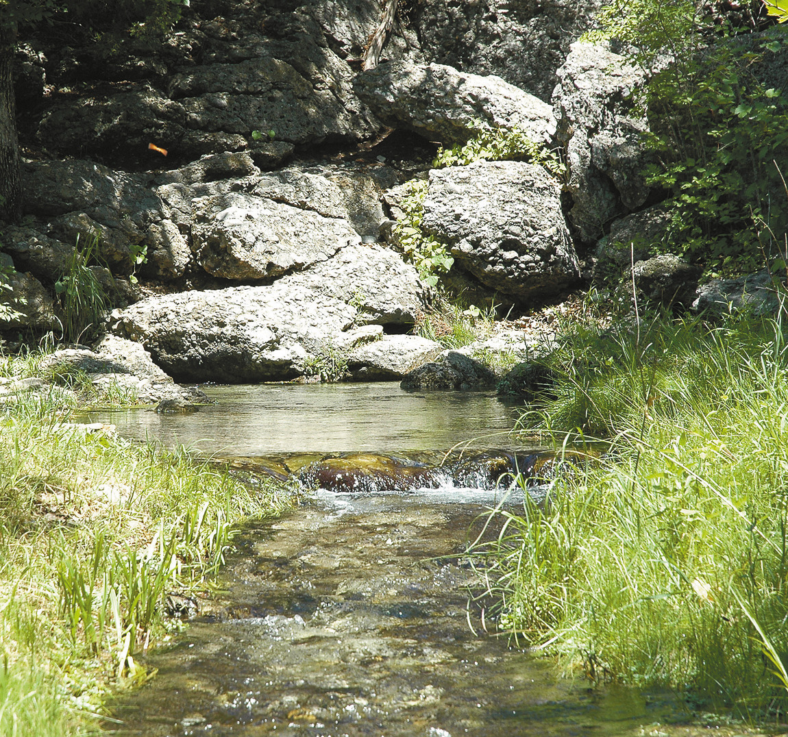
Springs
Through fall 1901, the Choctaw and Chickasaw negotiators hesitated to submit the reservation idea first; they preferred to let the Dawes Commission propose and then respond. The Interior Department essentially put Sulphur on pause: no new plat until the reservation question was decided. Meanwhile, the on-the-ground conflict intensifi ed. Sneed/Snead’s agents staked banks, peddled “occupancy” slips, and leaned on fear. Citizens fought back—pulling stakes, circulating warnings, and leaning on Inspector Wright. He publicly cautioned that Sneed’s company had no legal authority to sell lots; any “deeds” they offered were smoke. This was a key defense of the public interest: if people stopped paying the toll, the tollbooth lost power.
Back in Washington, Senator Platt pressed Interior and Congress. In early 1902, Wright wrote candidly: the springs must be reserved “for the general public” and the entire run of Sulphur Creek (including the headwaters), and parts of Rock Creek within town, protected from private monopoly—because Sulphur was already a popular resort and would only grow. That argument aligned science (Taff’s work) with politics (Platt’s advocacy) and local necessity (sanitation and free access).
On July 1, 1902, Congress approved the Chickasaw–Choctaw Supplemental Agreement. Crucially, Section 64 ceded up to 640 acres at and near Sulphur to the United States—embracing all natural springs “in and about” the village and enough of Sulphur( Travertine), Rock Creek and adjacent lands to ensure proper control and public use—while causing the least interference with the contemplated townsite. This was the legal lever needed to end the speculative scramble and set the place on a public trajectory.
With the law in hand, Interior moved quickly. Inspector Churchill and USGS geologist Joseph A. Taff returned in July 1902 to select the specific acres. Their brief was practical and principled: protect the springs and creeks, keep access open, and draw lines with “least interference” to valid town uses. By September 25, 1902, the Chickasaw and Choctaw Nations ratified the agreement; on November 19, 1902, the Sulphur Springs Reservation was officially proclaimed—629.33 acres at $20 per acre, for a total of $12,586.60, paid to the Nations. Improvements lawfully on the ground at ratification were appraised and compensated.
Consequences for the town: The reservation extinguished the core speculative gambit—private control of water. Sneed/Snead’s “occupancy” papers and lot peddling were publicly disavowed; residents learned to wait for lawful titles via federal process rather than pay middlemen. The creeks and springs—central to Sulphur’s identity—were secured for public health and recreation. That choice laid the foundation for the later Platt National Park (1906), and eventually today’s Chickasaw National Recreation Area.
Bottom line: From Robberson’s first alarm and the civic activism of Cook, Swords, and White; through Wright’s inspections, Taff’s science, and Platt’s legislative lift; to Churchill’s careful selection and the Nations’ ratification—the community, the tribes, and the federal government ultimately aligned to keep Sulphur’s waters free. Sneed’s scheme—pressuring households, selling unauthorized “rights,” and seeking a massive payout—became the foil that clarified what was at stake. The result was not just lines on a map, but a civic promise: the spring belongs to everyone who needs it.